Cadastral & Land Management
How satellite imagery, remote sensing, and AI help track forest changes and enable sustainable


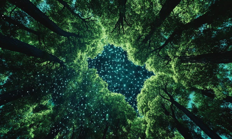
How satellite imagery, remote sensing, and AI help track forest changes and enable sustainable
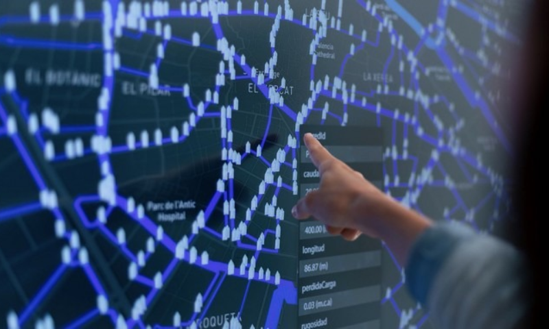
Using GIS databases and NETRA DSS to design irrigation projects and optimize water resources.
Leveraging cadastral mapping and geospatial AI to ensure legal clarity and support planning initiatives.